Map Due Dates/Quiz Dates for Semester II
Mapping Review Sources
World Geography
US States
Latin America Countries
Latin America Capitals
Central American Countries
Europe
European Countries
European Cities
European Bodies of Water
European Rivers
Blank Maps
Western Europe Political
Western Europe Physical
Eastern Europe Political
Eastern Europe Physical
Link to Instructions for CE MAP
Mapping Directions
For each map packet make sure you CAREFULLY follow the directions below:
- Identify & Label each item from the word bank on the blank maps provided
- ONLY include items that are on the word bank
- Country/State Names - ALL CAPITAL LETTERS (ex., MEXICO) - Black ink
- Capital or major cities - First Letter Capital, the rest lower case (ex., San Diego) - Red ink
- Bodies of water labeled in Blue (ex., Amazon) - Blue ink
- Mountains labeled in Brown or Black ink (ex., Rocky Mountains OR Appalachian Mountains)
- Orientation - always with a North designation (readable left to right without rotation)
- Neatly and Carefully color all maps
- Political Maps - each country a different color
- Can use the same color multiple times as long as no two adjacent places are colored in a similar color
- Physical Maps colored like the vegetation or elevation map
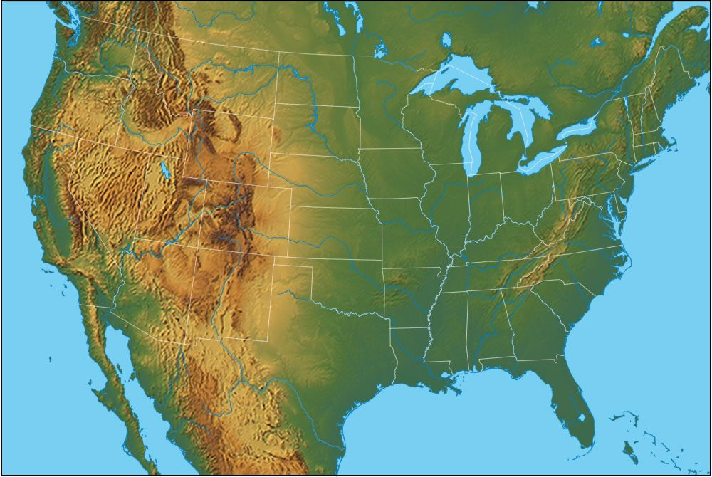
- Elevation

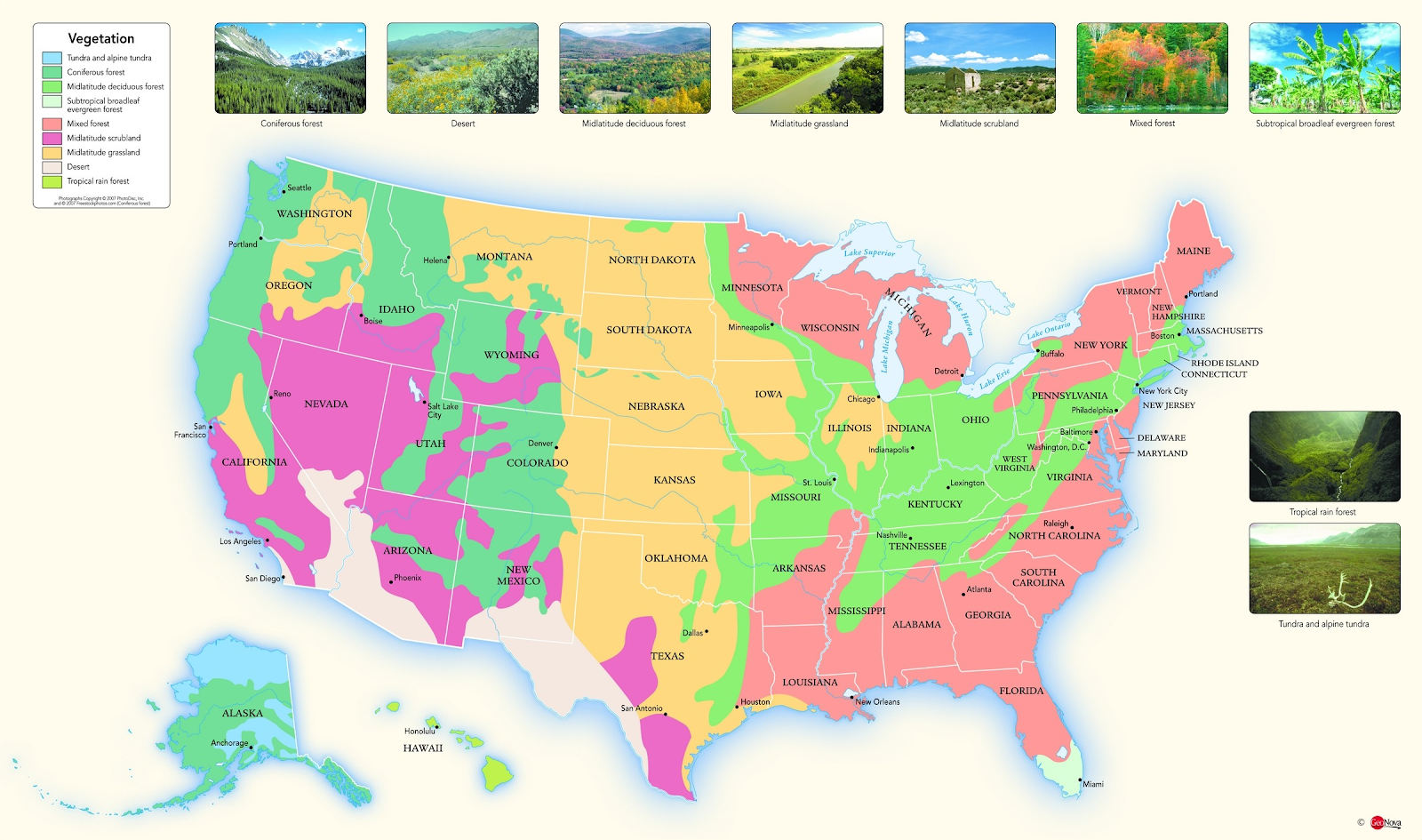
- Vegetation
- Write out each item very clearly in blue, black, brown, or red ink
- Be sure that your maps are neat!
- NOT crinkled, wrinkled, damaged, or messy when turned in!
- Make sure they are accurate
- Primary study guide for Map Test
Tentative Calendar of Map Test Dates (Map Packets are ALWAYS due on the day of the test)
- Test Dates subject to change (Pay attention in class!)
USA & North America Map Test
|
Monday, January 28, 2019
|
Europe Map Test
|
Tuesday, February 26, 2019
|
Latin America Map Test
|
Monday, March 18, 2019
|
Africa Map Test
|
Monday, April 1, 2019
|
Asia Map Test
|
Monday, May 20, 2019
|
Mapping Review Sources
World Geography
US States
Latin America Countries
Latin America Capitals
Central American Countries
Europe
European Countries
European Cities
European Bodies of Water
European Rivers
Blank Maps
Western Europe Political
Western Europe Physical
Eastern Europe Political
Eastern Europe Physical
Link to Instructions for CE MAP